Regis Resources
  • Home
  • About Us
    • About Regis Resources
    • Board of Directors
    • Senior Management
    • Corporate Directory
    • Corporate Governance
  • Projects
    • WA Projects
      • WA Project Map
      • Moolart Well
      • Rosemont
      • Garden Well
      • Erlistoun
      • Collurabbie
      • Satellite Deposits
    • NSW Projects
      • NSW Project Map
      • McPhillamys Gold Project
    • Resources and Reserves
  • Corporate Responsibility
    • Environment
      • Environment
      • Dams and Tailings Management
    • Community Relations
    • Occupational Health and Safety
    • Corporate Policies
    • Sustainability
  • Investors
    • ASX Announcements
    • Reports
    • Presentations
    • Broker Reports
    • Shareholder Centre
      • Shareholder Centre
      • Dividend Reinvestment Plan
      • Annual General Meeting
    • Conference Calls
  • Employment

McPhillamys Project Overview

Latest News

BLAYNEY LOCALS SUPPORTING THE MCPHILLAMYS GOLD PROJECT

(L-R) Stacey McFawn, Roger Hamer, Phil Ryan, Rachel Croft, Tim Warwick (and son Freddie) show their support for McPhillamys in the Local Voices video

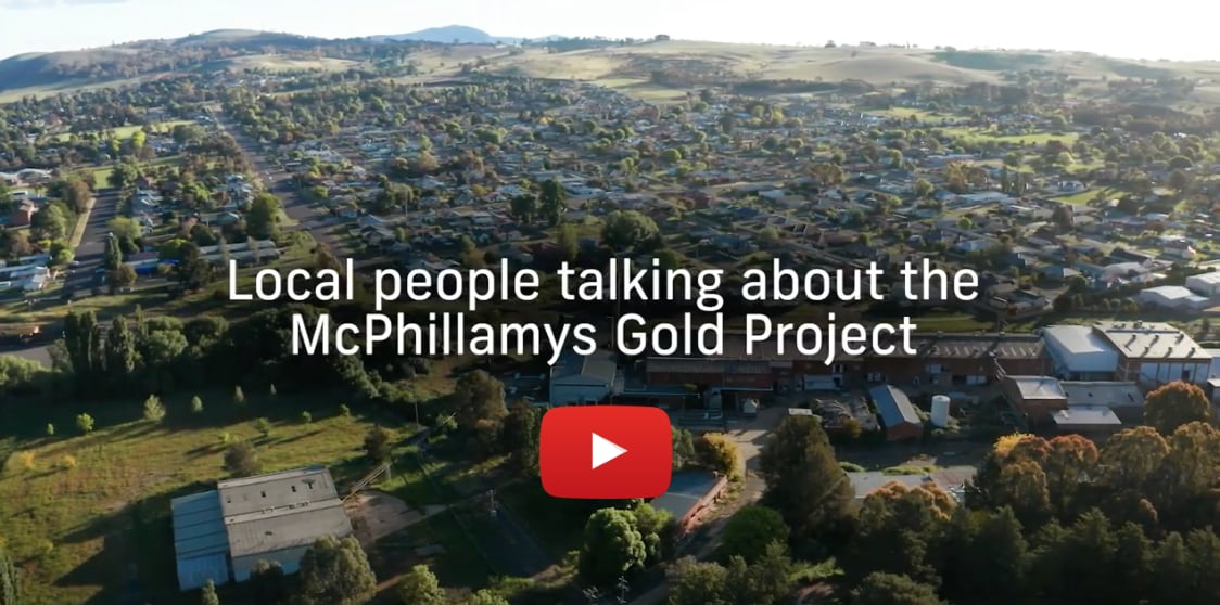
Blayney locals have shown their support for the McPhillamys Gold Project in a new video, Local Voices.

The video was filmed in late 2020, featuring local residents and business people talking about why they think the McPhillamys Gold Project will be a good thing for their community.

These people are passionate about their community and they’re keen to see it prosper and develop with the benefits and opportunities that the project would bring. They mention things like jobs, business growth, new services and career and training opportunities for future generations.

CLICK HERE TO VIEW LOCAL VOICES   

Background

The McPhillamys Gold Project is located in the Blayney – Kings Plain district of Central West New South Wales, approximately 8 kilometres from the town of Blayney. The Blayney – Kings Plains district has been the subject of alluvial and hard rock mining since the mid to late 19th century with sporadic exploration for gold and base metals over various exploration licences since the 1960s. 

More recently, between 2006 and 2009, exploration targeting gold mineralisation at McPhillamys on EL5760 was undertaken by LFB Resources NL, through an exploration joint venture between Newmont Exploration Pty Ltd and Alkane Resources Ltd, referred to as the Newmont Alkane JV.

Having identified the McPhillamys deposit, a program of diamond core drilling was undertaken in 2010 by the Newmont Alkane JV to further define the known mineralisation and metallurgical characterisation of the deposit. At the completion of this exploration program, a potentially economic resource was confirmed subject to further feasibility assessment.

In November 2012, Regis Resources Limited (Regis) through the acquisition of LFB Resources NL acquired the McPhillamys Gold Project from the Newmont Alkane JV. Regis then completed an infill resource drilling program in the first half of 2013 to confirm the earlier exploration results and to increase the confidence level of the resource model with an updated resource estimate announced in July 2014. In mid-2016, Regis commenced a further round of drilling to refine the resource estimate and to obtain additional information required to complete a Definitive Feasibility Study. That study culminated in an updated Mineral Resource Estimate and maiden Ore Reserve Estimate released in September 2017. 

Regis’ Board anticipates making a decision to commence development of McPhillamys following the receipt of all required approvals.

Visit the McPhillamys Project Website

Geology

The McPhillamys Gold Project falls within the Silurian aged Anson Formation of the East Lachlan Fold Belt of New South Wales, Australia. The project is situated approximately 40 kilometres east of Newcrest Mining Limited’s Cadia/Ridgeway mine.

The deposit is located within dacite rich volcaniclastic rocks of the Silurian aged Anson formation. The gold mineralisation is largely hosted by a north-south striking, east dipping, altered coarse grained (strongly foliated) felsic to intermediate volcanic, volcaniclastic and intrusive rock complex.

The mineralisation has to date been defined by appropriately spaced drilling that has identified a 1,000 metre long, up to 260 metre wide envelope of +0.1g/t gold mineralisation. Gold mineralisation has been intersected in drilling to depths in excess of 600 metres. Higher grade zones are found within the core of this envelope and form the basis of the current McPhillamys gold resource.


Ore Reserve

The broad gold mineralised envelope at McPhillamys is weakly associated with a similar dimensioned copper enriched zone. The copper is not believed to be of economic significance in the potential development of the project.

The deposit crops out, forming a moderate hill at around 950 metres above sea level. The mineralisation is variably oxidised with the base of oxidation varying from about 10 metres to about 55 metres below the ground surface.

The McPhillamys Gold Project has a quoted gold resource and reserve as shown in the table.

Resource Category Tonnes (millions) Gold Grade (g/t) Contained Gold Ounces (000's)
 Indicated 67.7 1.05 2,282
 Inferred 1.2 0.64 25
 Total 68.9 1.04 2,307
 Probable Ore Reserve 60.1 1.05 2,034


Development and Infrastructure Requirements

McPhillamys would include the following key components within the Mine Site:

  • Construction of a single, approximately circular open cut with a diameter of approximately 1,000m and a final depth of approximately 460m;
  • Placement of waste rock into waste rock emplacements that would include encapsulation for material with the potential to produce a low pH leachate. The waste rock emplacements would be constructed and rehabilitated in a manner that they would, to the extent practicable, act as amenity bunds, shielding surrounding residents from activities within the Mine Site;
  • Construction and use of a conventional carbon-in-leach processing facility comprising a run-of-mine (ROM) pad and crushing, grinding, gravity, leaching, gold recovery, tailings thickening, cyanide detoxification and tailings management circuits;
  • Construction and use of an engineered tailings storage facility to store tailings material;
  • Establishment and use of a site access road and intersection with the Mid Western Highway;
  • Construction of water management infrastructure, including water diversions and storages, and sediment control infrastructure;
  • Establishment and use of ancillary infrastructure, including soil stockpiles, administration, workshop, stores, water supply, power supply and other infrastructure; and
  • Establishment of a final landform that is stable, secure, non-polluting and requiring ongoing land management equivalent to surrounding undisturbed land. The final landform, with the exception of the final void, would be suitable for a final use of agriculture or biodiversity conservation. The final void may be suitable for a final land use as water storage for a number of purposes

Development and Infrastructure Requirements

McPhillamys would also incorporate a range of biodiversity offset and habitat enhancement initiatives to ensure biodiversity values in the vicinity of the Mine Site are maintained or improved in the long term. 

Finally, Regis holds a range of exploration licences in the vicinity of McPhillamys. It is anticipated that if a suitable gold resource be identified within those license areas, the material would, subject to another application for development consent, be transported to the Mine Site for processing and tailings storage. The Mine Site entrance, ROM pad and tailings storage facility would be designed to cater for the additional traffic movements and ore volume. A separate application for development consent would be sought for the mining and transportation of that material to the Mine Site should a suitable resource be identified.

Process Water Requirements

McPhillamys would be somewhat unique in that the vast majority of the water supply for the project would be from an outside source from the Springvale area near Lithgow via an 80km buried pipeline constructed by Regis.

This would mean that there would be negligible impact on the local surface and ground water resources. 

In the event that the proposed water pipeline from the Springvale area could not be completed, Regis has as an alternative, groundwater licences in the Upper Lachlan area (Zone 2). These groundwater licences make up approximately 4.5Gl out of 33Gl of licences in this zone. 13Gl of the 33Gl of groundwater licences in this zone have remained unused even in drought conditions.

Downloads

PEA (Preliminary Environmental Assessment)

  • Privacy and Legal Notices
  • Contact Regis Resources

© 2021 Regis Resources. All Rights Reserved.

Go Top